

The Cost-Benefit Breakdown of Investing in High-End Surveying Technologies
Precision now shapes every stage of construction and planning. Sensors, optics, and data engines define how land is measured. High-resolution capture, rapid processing, and digital
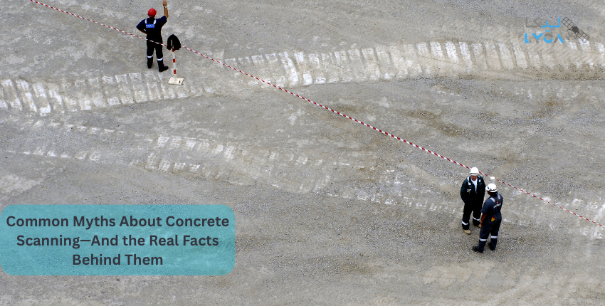
Common Myths About Concrete Scanning—And the Real Facts Behind Them
Concrete structures rely on dense reinforcement, embedded services, and load-control elements hidden beneath solid surfaces. These internal components interact with stress, vibration, and cutting forces

Future Trends in Survey Engineering: AI, Automation & Smart Infrastructure (2026 and beyond)
Survey engineering now operates on layered data systems rather than isolated measurements. High-resolution sensors, intelligent processing engines, and real-time validation tools work together to capture
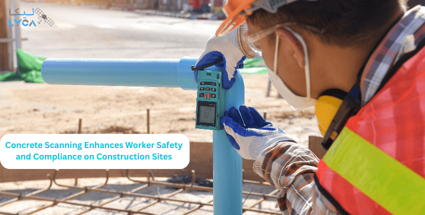
How Concrete Scanning Enhances Worker Safety and Compliance on Construction Sites
The structure of a site hides more than it shows. Concrete slabs hold beams, steel bars, cables, and active utility lines that run deep under

Challenges and Solutions in Large-Scale Infrastructure Surveys
Large infrastructure projects rely on accurate ground data. Every line, curve, and point affects how a structure stands and how safe it remains. Any mistake

Legal Implications of Incorrect Land Demarcation in Dubai
Faulty boundary lines affect how a plot is used, sold, or built. A small error can block permits or delay major work. These issues appear

Why Government Authorities Increasingly Require Verified As-Built Documentation
Engineering teams face heavy pressure to prove what exists on a site with reliable evidence. Small errors in measurements cause cost shifts, design clashes, and
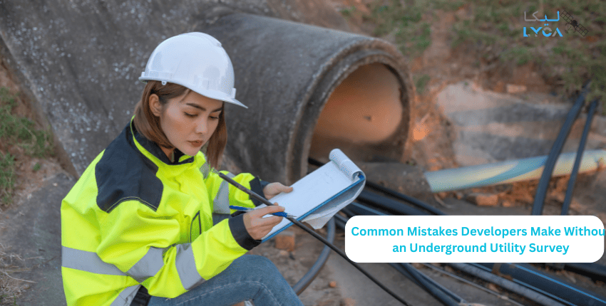
Common Mistakes Developers Make Without an Underground Utility Survey
Ground systems carry power lines, pipes, and data routes that support every site. These assets sit under layers of soil and mix with natural features.
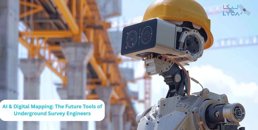
AI & Digital Mapping: The Future Tools of Underground Survey Engineers
Modern sensors now read hidden zones with higher clarity. They track depth, density, and ground shifts with fine detail. These tools help reduce risk and

Role of Advanced Surveying in Green & Sustainable Urban Design
Sustainability starts with precision. Before a single brick is laid, advanced surveying defines how cities grow, how land is used, and how resources are
