

Ground Penetrating Radar (GPR) vs. Radiofrequency Locators: What Tools Are Needed for a Compliant Underground Survey?
Hidden utility lines, buried pipes, post-tension cables, and other subsurface assets can turn a simple project into a costly problem if they remain undetected. Every

Understanding Topographic Map Requirements for Dubai Municipality (DM) Design Approvals
Every successful construction project begins with reliable site information. Before architects prepare drawings or engineers finalize layouts, they need a clear picture of the land

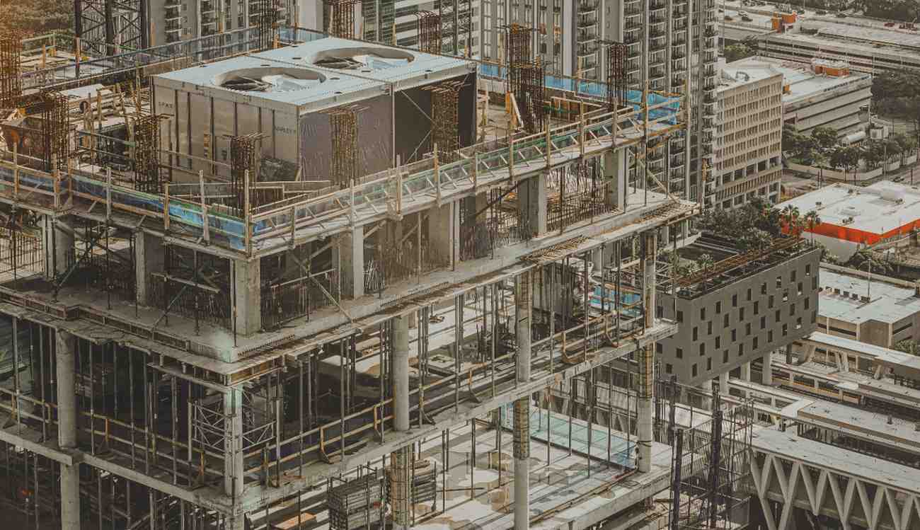
GPR Scanning for Deep Foundation Work: Safeguarding Dubai’s High-Rise Infrastructure
Every high-rise begins with one critical stage that often stays out of sight. Deep foundation work depends on knowing exactly what lies beneath the ground

Navigating Dubai Building Code Rules: Why Accurate As-Builts Prevent Costly BPS Portal Rejections
Building approvals depend on clear and reliable project information. Every drawing, dimension, and site condition must match what exists on the ground. When project records
Scan-to-BIM for Retrofitting Older High-Rises in Downtown Dubai & Marina
Many high-rise towers built years ago remain valuable assets. Their locations, structural strength, and market appeal continue to attract owners and investors. Yet aging systems,

Surveying Services Every Developer Should Prioritize Before Site Mobilization
Construction success often depends on decisions made long before equipment arrives on site. Ground conditions, boundary accuracy, elevation data, and structural constraints shape every stage

Why Dubai’s Smart City Push Requires More Advanced Survey Engineering Capabilities
Urban systems now depend on precise digital planning long before construction begins. Transport corridors, utility networks, smart monitoring systems, and connected infrastructure require accurate spatial

UAE Plot Demarcation for Real Estate & Infrastructure: Speeding Up Approvals & Design
Boundary accuracy affects every stage of real estate and infrastructure development. A small error in plot limits can delay approvals, affect utility layouts, create design
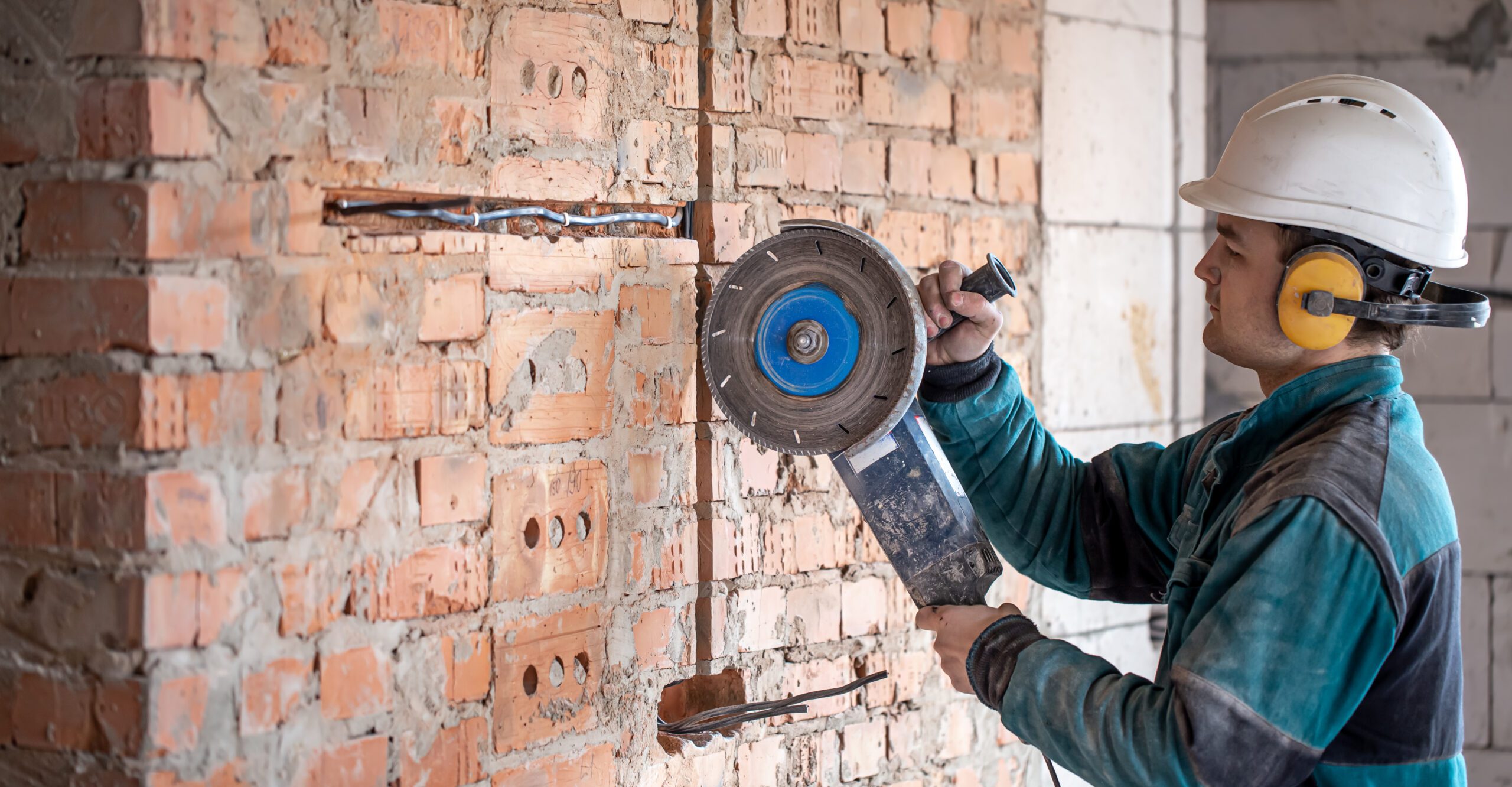
Concrete Cutting & Coring Services for Facility Managers: Risk Reduction & Cost Strategy
Facility upgrades often begin with small structural changes. A new drainage route, added cable tray, HVAC extension, or fire system upgrade may require openings through

Post-Tension vs. Traditional Reinforcement: Impacts on Cost, Design & Structural Integrity
Heavy floor loads, long spans, and dense urban builds place constant stress on modern concrete structures. Engineers now need systems that reduce slab thickness, limit
