
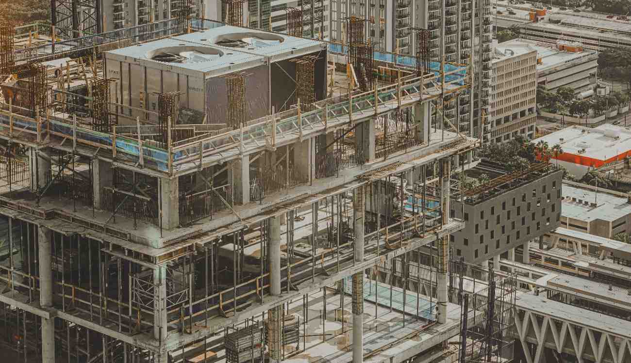
Scan-to-BIM for Retrofitting Older High-Rises in Downtown Dubai & Marina
Many high-rise towers built years ago remain valuable assets. Their locations, structural strength, and market appeal continue to attract owners and investors. Yet aging systems,
Surveying Services Every Developer Should Prioritize Before Site Mobilization
Construction success often depends on decisions made long before equipment arrives on site. Ground conditions, boundary accuracy, elevation data, and structural constraints shape every stage

Why Dubai’s Smart City Push Requires More Advanced Survey Engineering Capabilities
Urban systems now depend on precise digital planning long before construction begins. Transport corridors, utility networks, smart monitoring systems, and connected infrastructure require accurate spatial
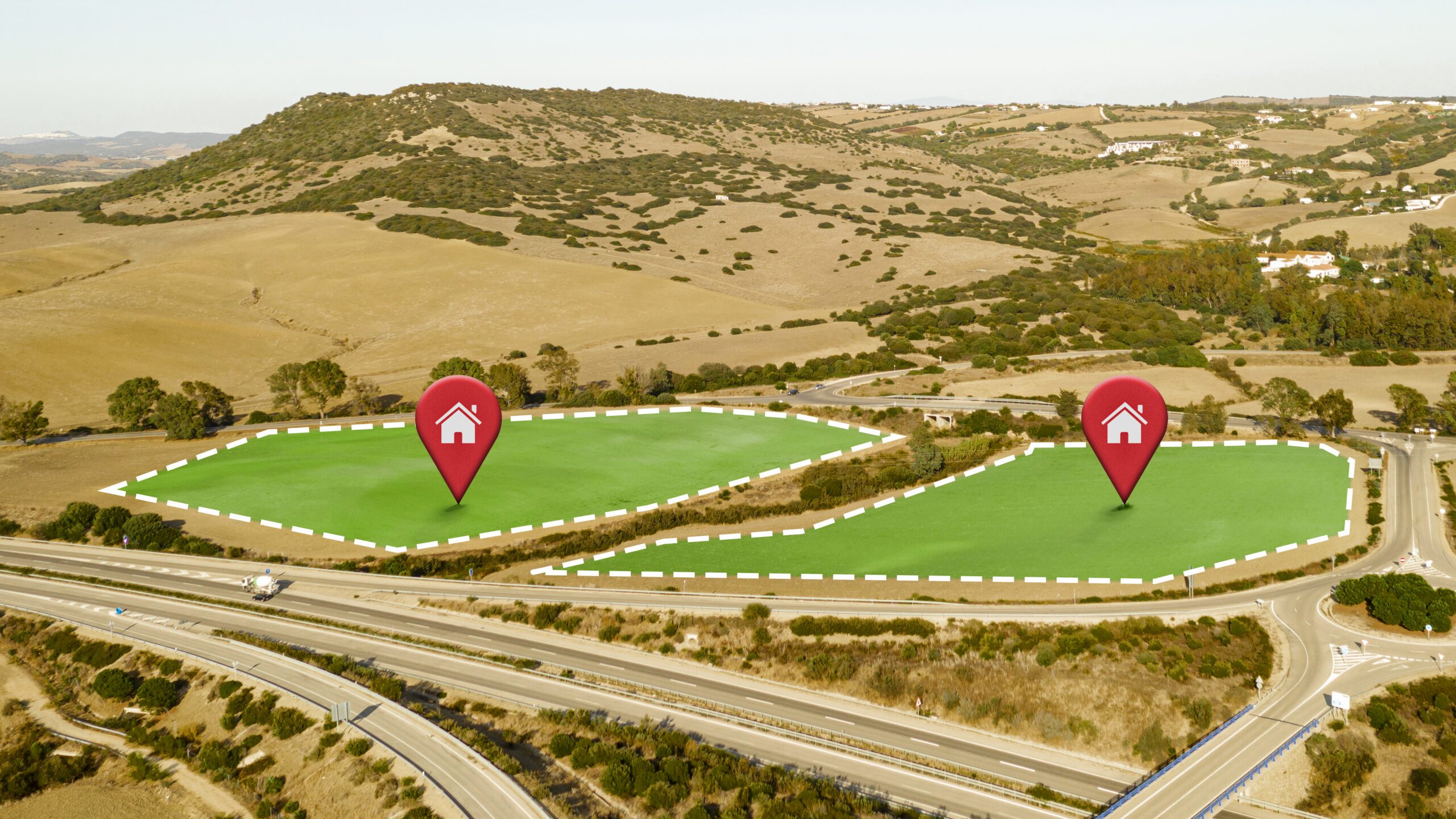
UAE Plot Demarcation for Real Estate & Infrastructure: Speeding Up Approvals & Design
Boundary accuracy affects every stage of real estate and infrastructure development. A small error in plot limits can delay approvals, affect utility layouts, create design
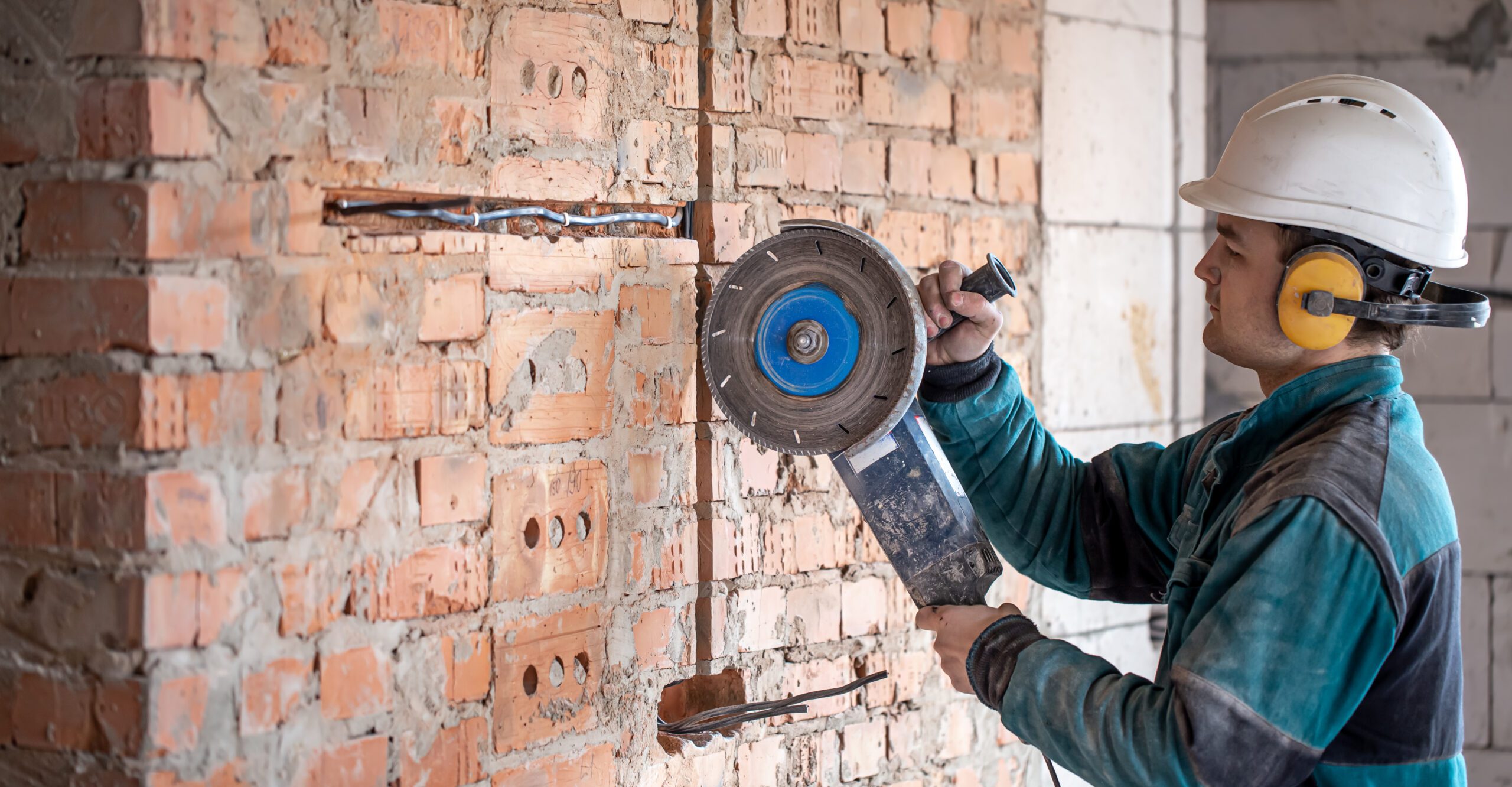
Concrete Cutting & Coring Services for Facility Managers: Risk Reduction & Cost Strategy
Facility upgrades often begin with small structural changes. A new drainage route, added cable tray, HVAC extension, or fire system upgrade may require openings through
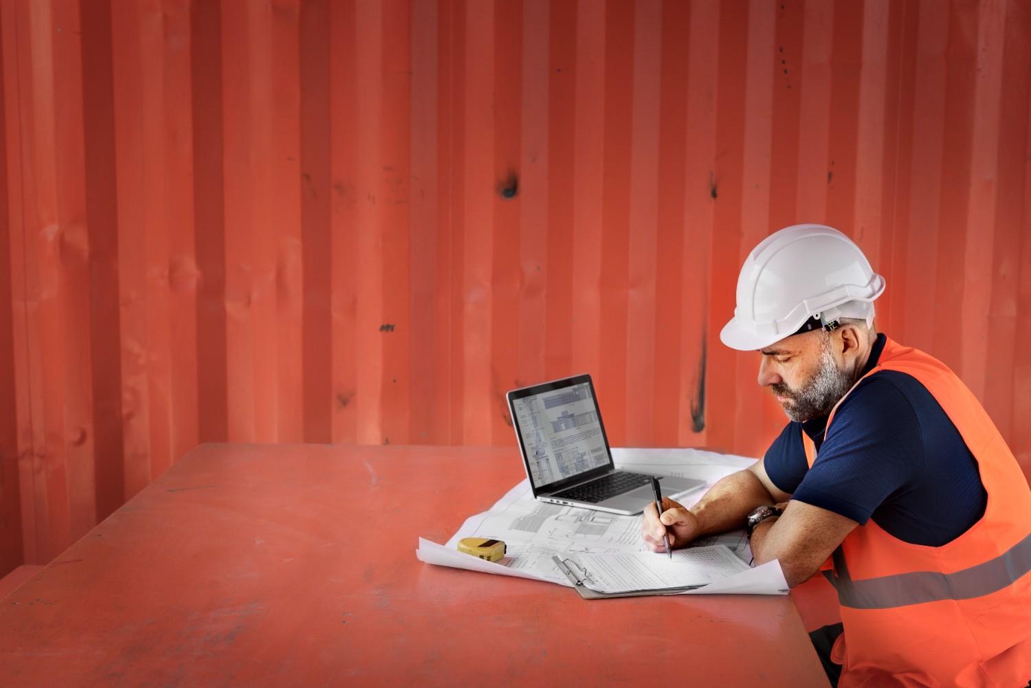
Post-Tension vs. Traditional Reinforcement: Impacts on Cost, Design & Structural Integrity
Heavy floor loads, long spans, and dense urban builds place constant stress on modern concrete structures. Engineers now need systems that reduce slab thickness, limit
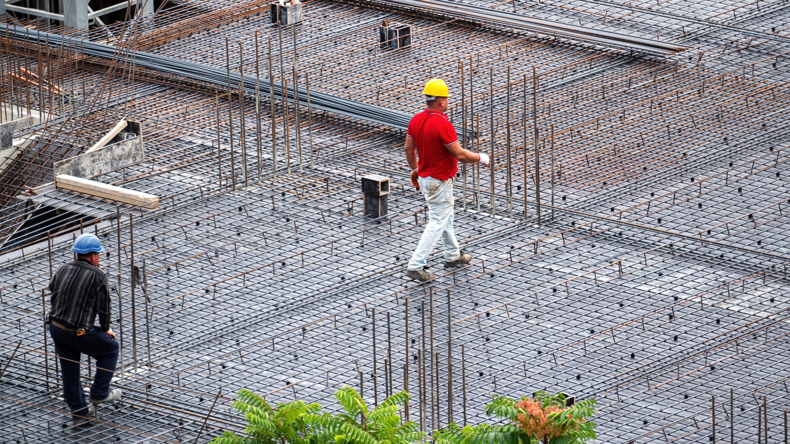
How Post Tension Inspection Reduces Compliance Risks in High-Rise Projects
Heavy floor loads, long slab spans, and tight build schedules place constant stress on high-rise structures. Post tension systems help manage these loads with better
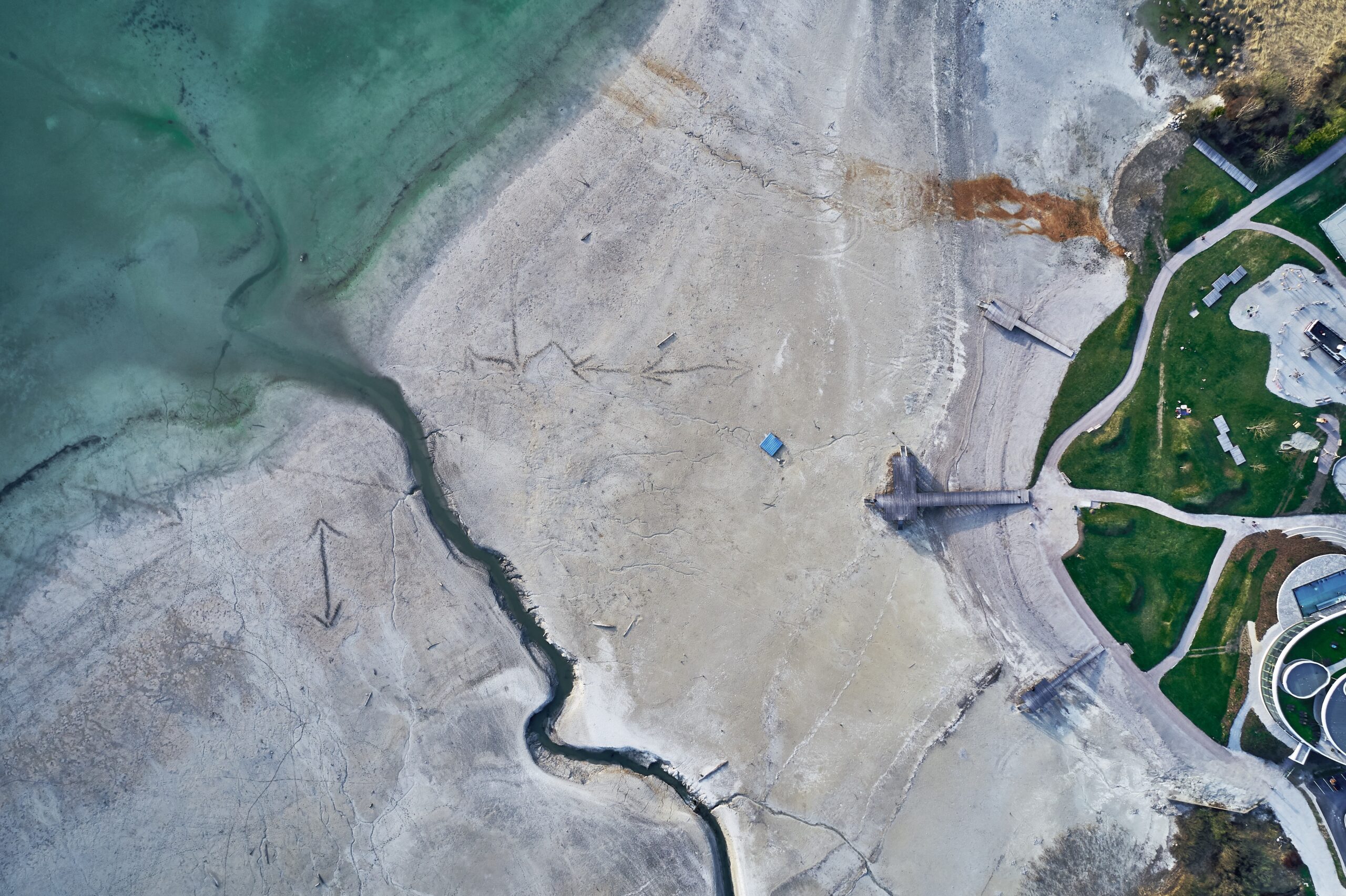
Choosing the Right Topographic Survey Partner in Dubai: Checklist for Developers
Dense urban layouts, strict site controls, and layered utility lines make land planning complex in Dubai. A reliable survey partner helps developers avoid design errors,
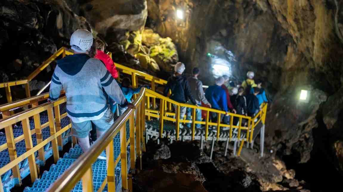
Underground Survey Requirements for Infrastructure & Road Projects
Hidden utility lines can stop a road project within minutes. A damaged cable, broken pipe, or missed duct can delay excavation, raise repair costs, and
Top Challenges in Underground Utility Mapping and How to Overcome Them
Accurate subsurface detection relies on signal response, soil behavior, and data capture methods. Small errors can lead to major site risks. Modern underground survey services use tools
