
Choosing the Right Topographic Survey Partner in Dubai: Checklist for Developers
Dense urban layouts, strict site controls, and layered utility lines make land planning complex in Dubai. A reliable survey partner helps developers avoid design errors, permit delays, and costly site changes. Accurate mapping supports grading plans, road alignment, drainage flow, and utility placement from the start. Many developers now depend on topographic survey companies to guide smarter land decisions before construction begins.
Why Topographic Surveys Matter Before Development
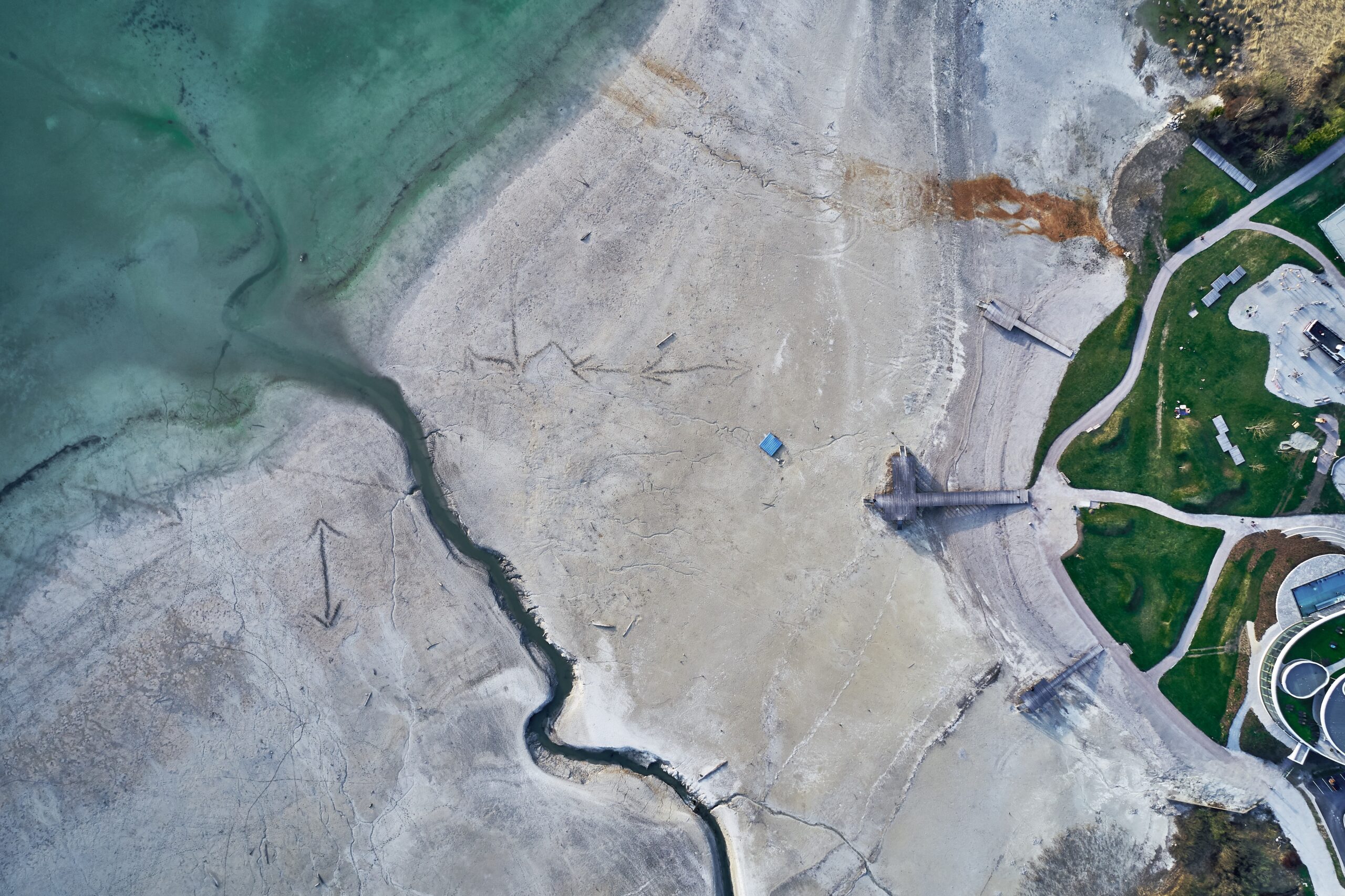
Every project starts with land data. Poor site data creates problems that spread across design and construction stages. Developers need exact details about elevation, slope, access paths, structures, and underground risks. A topographic survey gives a clear view of the land’s physical features. It supports planning teams, architects, engineers, and project managers. The survey helps teams study build limits and land behavior before heavy work starts.
Good survey data also supports legal and permit work. Many authorities ask for detailed site records during approval stages. This makes topographic survey requirements in Dubai important for both private and public projects.
Developers often use surveys for:
- Land subdivision planning
- Utility routing studies
- Site grading analysis
- Drainage and flood review
- Boundary checks
- Infrastructure design support
- Construction coordination
Without correct data, teams may redesign plans during construction. That leads to wasted time and extra costs.
Key Traits to Look for in a Survey Partner
Not all survey providers offer the same level of skill or field support. Developers should review both technical ability and project handling methods before hiring a survey team.
Experience With Local Site Conditions
Dubai projects often involve mixed terrain, dense roads, utility corridors, and active construction zones. Survey teams must understand local land conditions and authority processes. A company with local experience can manage site access issues, coordinate with project teams, and handle permit needs more smoothly.
This becomes more useful in active urban zones such as topographical survey in Nadd Al Hamar, where land layouts may involve roads, drainage channels, warehouses, and utility lines in close range.
Use of Modern Survey Equipment
Good survey work depends on reliable equipment. Developers should ask what systems the company uses for data collection and processing.
Modern survey teams often use:
- GNSS receivers
- Total stations
- 3D laser scanners
- UAV mapping systems
- Digital levels
- GIS software platforms
Advanced tools improve speed and data accuracy. They also reduce manual errors during fieldwork.
Reviewing Technical Accuracy Standards
Survey accuracy affects design quality. Small measurement errors can create major layout problems later.
A professional survey company should explain:
- Their field control methods
- Data validation process
- Coordinate systems used
- Accuracy checks during surveys
- Quality review procedures
Developers should also ask about final deliverables. Good survey reports include clean drawings, layered CAD files, elevation data, and clear annotations.
Reliable topographic survey companies also maintain proper records for future project stages.
Ability to Handle Complex Development Projects
Large projects need more than basic land mapping. Developers should confirm if the survey team can support different project phases.
Some projects require:
- Pre-design surveys
- Construction layout support
- Volume calculations
- Utility coordination
- As-built verification
- Road alignment checks
A capable topographic inspection agency can support these tasks through one coordinated workflow.
This helps developers avoid working with multiple vendors for connected survey needs.
Understanding Survey Turnaround Time
Project schedules depend on survey delivery dates. Delayed survey reports can hold back design reviews and permit approvals.
Developers should discuss:
- Site mobilization timelines
- Data processing time
- Drawing submission schedule
- Revision handling process
- Emergency support availability
Fast delivery matters, but accuracy matters more. A rushed survey with weak field checks may create expensive corrections later.
Good survey partners balance speed with proper validation.
Importance of Clear Communication
Survey work connects with many project teams. Poor communication often creates confusion during design and construction.
A dependable survey partner should provide:
- Clear project updates
- Direct technical contacts
- Easy-to-read reports
- Site coordination support
- Quick response to revisions
This becomes critical when multiple consultants work on one site.
Developers should also check if the survey company can explain technical details in simple language. Clear explanations help faster decisions during planning meetings.
Checking Compliance and Safety Practices
Field survey work often happens near roads, utilities, and active work zones. Safety practices protect both teams and project timelines.
A professional survey provider should follow:
- Site safety procedures
- Equipment calibration checks
- Local authority guidelines
- Proper field documentation methods
Knowledge of topographic survey requirements in Dubai also helps avoid approval issues during project submission stages.
Compliance reduces delays and supports smoother project coordination.
Reviewing Project Portfolio and Capability
Past work reveals a company’s strengths. Developers should review previous survey projects before making a final decision.
A strong portfolio may include:
- Commercial developments
- Residential communities
- Industrial zones
- Infrastructure projects
- Utility mapping work
- Transportation corridors
Experience in mixed-use environments often shows stronger technical flexibility.
Survey firms working on projects like topographical survey in Nadd Al Hamar usually develop better coordination skills for active urban areas.
Data Integration and Digital Compatibility
Modern projects depend on digital workflows. Survey data should fit easily into design and engineering systems.
Developers should confirm if the company provides:
- CAD-compatible files
- BIM-ready outputs
- GIS integration support
- Digital terrain models
- Cloud data sharing options
These formats help architects and engineers work faster without repeated file changes.
A skilled topographic inspection agency also helps reduce design conflicts by providing organized data structures.
Why Developers Choose Lyca Survey
At Lyca Survey, we support developers with accurate land data, field expertise, and project-focused survey solutions. Our team understands the technical demands of modern construction projects across Dubai.
We use advanced survey systems to deliver reliable site information for planning, design, and execution stages. Our survey process focuses on precision, coordination, and timely delivery.
Our capabilities include:
- Detailed topographic surveys
- Utility and infrastructure mapping
- GPS and total station surveys
- 3D laser scanning support
- Digital terrain modeling
- Construction layout services
- As-built survey reporting
We also use advanced equipment models to improve field performance and data quality.
Our survey technology includes:
- High-precision GNSS receivers for site positioning
- Robotic total stations for complex layouts
- UAV systems for large land coverage
- Laser scanning tools for dense site capture
- Digital processing software for accurate reporting
Our team works closely with developers, consultants, and contractors throughout each project phase. We focus on clear communication, dependable timelines, and practical survey support.
Many clients trust us because we combine technical skill with field experience. We help reduce planning risks and improve project coordination from the beginning.
Contact Us
Strong land data creates stronger projects. At Lyca Survey, we help developers make informed site decisions with accurate survey support and reliable field expertise. Visit our website to learn more about our survey services and advanced solutions, including ground penetrating radar for utility locating. Explore how our team can support your next development project with confidence.
FAQs
- Why should developers hire a professional topographic survey partner before starting a project in Dubai?
A professional survey partner provides accurate land data, identifies site constraints, supports design planning, and helps prevent costly construction errors, approval delays, and unexpected changes during project execution.
- What technologies should a reliable topographic survey company use for accurate site mapping?
A dependable survey company should use GNSS receivers, total stations, UAV mapping systems, 3D laser scanners, digital levels, and GIS software to ensure accurate and efficient data collection.
- How can survey accuracy impact the success of a construction or infrastructure project?
Survey accuracy directly affects design quality, grading plans, utility placement, and construction layouts. Even minor measurement errors can lead to redesigns, project delays, budget overruns, and coordination issues.
- What factors should developers consider when comparing topographic survey companies in Dubai?
Developers should evaluate local experience, technical expertise, equipment quality, project portfolio, turnaround time, communication practices, safety standards, and the ability to deliver compatible digital survey outputs.
- Can a survey partner support projects beyond the initial topographic survey stage?
Yes, experienced survey partners can assist with construction layout, utility coordination, volume calculations, as-built surveys, road alignment verification, and other surveying requirements throughout the project lifecycle.
