
GPR Scanning for Deep Foundation Work: Safeguarding Dubai’s High-Rise Infrastructure
Every high-rise begins with one critical stage that often stays out of sight. Deep foundation work depends on knowing exactly what lies beneath the ground before excavation, piling, or drilling begins. Hidden utilities, buried pipes, old foundations, and unknown concrete features can create costly delays and serious safety risks if they remain undetected.
This is where ground scanning services become a key part of modern construction planning. Ground Penetrating Radar (GPR) gives engineers a clear picture of underground conditions without disturbing the surface. It helps teams locate hidden objects, reduce uncertainty, and make informed decisions before heavy equipment enters the site. As high-rise developments continue to shape Dubai’s skyline, accurate subsurface investigation has become an essential step for safe and efficient foundation work.
Why Deep Foundation Projects Demand Accurate Subsurface Data
Deep foundations transfer structural loads to stable soil or rock layers beneath the surface. These systems include bored piles, driven piles, diaphragm walls, and caissons. Each method requires precise drilling and excavation. Unexpected underground obstacles can interrupt these activities. Buried pipelines, abandoned utilities, reinforced concrete blocks, or old construction debris may damage equipment or force costly design changes.
GPR scanning helps engineers identify these hidden features before work starts. Early detection improves planning and reduces the risk of accidents, repairs, and project delays.
How Ground Scanning Services Supports Foundation Construction
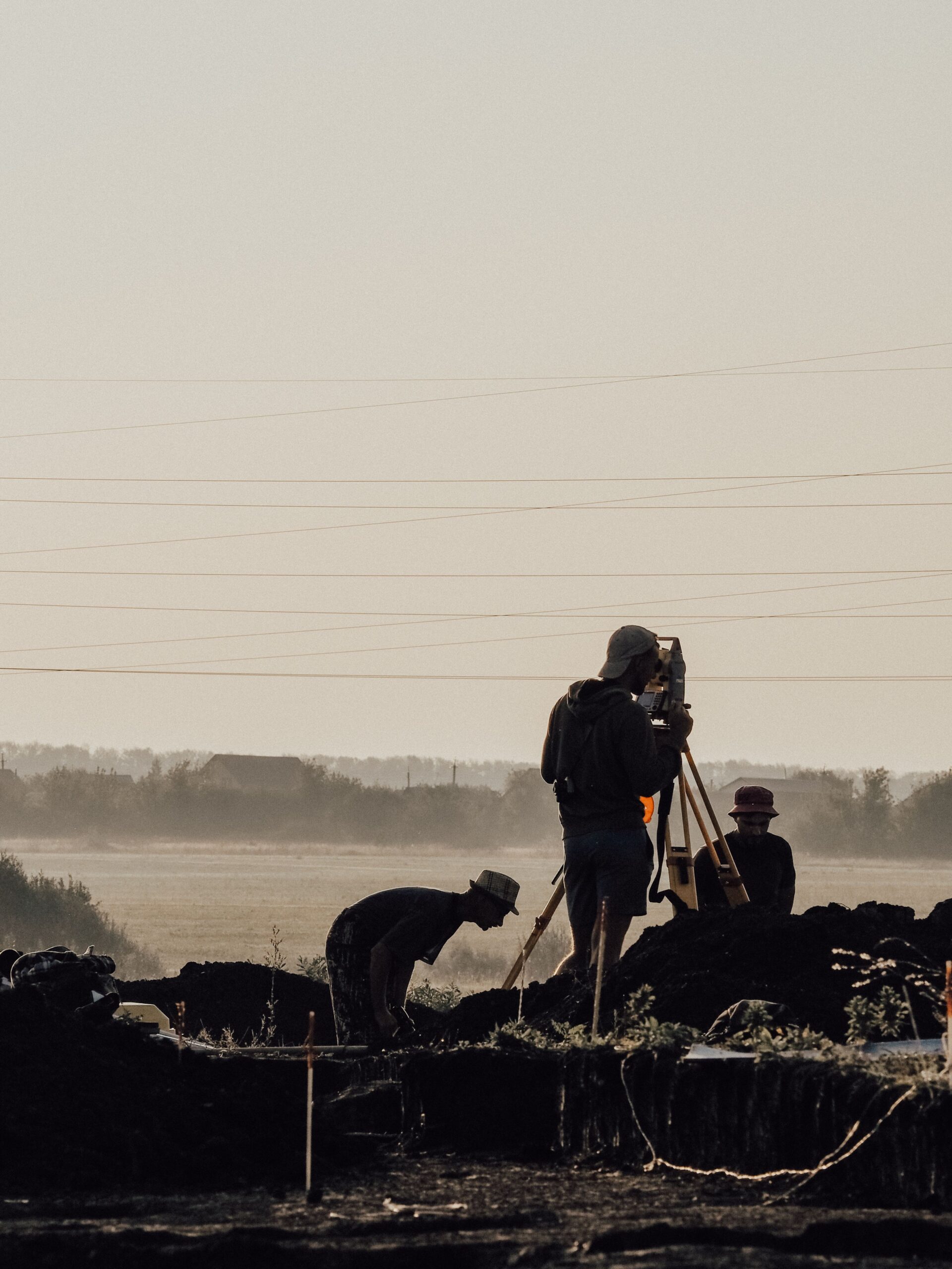
Ground Penetrating Radar sends high-frequency electromagnetic waves into the ground. Different materials reflect these signals at different strengths. The returning data creates an image of subsurface conditions that trained specialists can interpret. Unlike destructive investigation methods, GPR allows engineers to inspect the area without excavation. Multiple scans across a site create detailed subsurface maps that guide construction activities.
For foundation projects, GPR can help identify:
- Underground utility lines
- Buried drainage systems
- Old concrete structures
- Reinforcement within concrete
- Underground storage tanks
- Voids and cavities
- Changes in soil layers
This information supports better engineering decisions before piling or excavation begins.
Protecting Critical Utilities Before Excavation
Urban construction often takes place near existing infrastructure. Water pipelines, electrical ducts, telecom cables, and sewer networks may run directly beneath future building locations. A reliable GPR pipe locator helps identify these buried utilities with high accuracy before excavation begins. This allows contractors to adjust drilling positions and excavation methods without damaging essential services. Utility strikes can stop construction, increase repair costs, and create safety hazards for workers. Proper scanning significantly lowers these risks while supporting uninterrupted project progress.
Reducing Structural Risks During Pile Installation
Pile installation places significant force into the ground. Unexpected underground obstructions can affect pile alignment or damage drilling equipment. Subsurface scanning provides engineers with valuable information before drilling starts. Contractors can modify pile layouts when necessary and avoid hidden obstacles. This planning improves construction quality while reducing equipment downtime and unnecessary excavation work.
The Value of Concrete Investigation Before Foundation Modification
Many redevelopment projects require changes to existing foundations or basement structures. Engineers often need to locate reinforcement, post-installed elements, or embedded services before cutting or drilling concrete. Professional concrete floor scanning allows teams to identify hidden steel reinforcement, conduits, voids, and structural elements without damaging the slab. The information supports safe core drilling, structural modifications, anchor installation, and demolition planning while preserving structural integrity.
Managing Complex Urban Construction Sites
High-rise developments rarely occur on empty land. Existing buildings, roads, utility corridors, and underground infrastructure often surround the project site. Comprehensive scanning provides engineers with a better understanding of underground conditions before construction begins. This allows project teams to coordinate excavation, piling, and utility protection with greater confidence. Well-planned investigations reduce surprises during construction and improve communication between designers, contractors, and site engineers.
Combining GPR with Engineering Expertise
GPR equipment produces detailed underground data, but accurate interpretation requires skilled professionals. Experienced survey specialists understand signal behavior across different materials and site conditions. Proper data analysis helps distinguish between utilities, reinforcement, buried concrete, soil variations, and natural features. Engineers can then use this information to make informed construction decisions. Professional reporting also creates valuable project records that support future maintenance and redevelopment work.
Advanced GPR Systems Improve Detection Quality
Modern GPR technology offers better signal processing, improved depth penetration, and clearer data visualization than earlier systems. For demanding construction projects, advanced scanning equipment provides higher image quality across different soil and concrete conditions. Specialized antennas also allow operators to select suitable frequencies based on required scanning depth and target size.
Projects requiring concrete radar scanning Nadd Al Hamar, Dubai benefit from advanced radar systems capable of identifying reinforcement patterns, embedded utilities, and hidden structural features with high accuracy. This supports safer drilling, renovation, and foundation activities across complex construction environments.
Why Choose Lyca Survey for Professional GPR Scanning
Successful foundation work depends on accurate information before construction begins. At Lyca Survey, we provide reliable GPR scanning solutions that help contractors, consultants, and developers reduce construction risks while improving project efficiency.
We use advanced radar technology supported by experienced survey professionals to deliver clear, dependable subsurface information for every project.
Our capabilities include:
- Professional GPR surveys for deep foundation investigations.
- Utility mapping before excavation and piling.
- Concrete scanning before drilling, cutting, or demolition.
- High-quality reporting with easy-to-read scan results.
- Experienced operators trained in data interpretation.
- Timely site execution that supports project schedules.
Advanced Equipment We Use
To achieve dependable results, we operate professional-grade GPR systems designed for different project needs.
- Multi-frequency antenna systems for shallow and deep investigations.
- High-frequency antennas for detailed concrete inspections.
- Lower-frequency antennas for greater underground penetration.
- Digital data acquisition with high-resolution imaging.
- GPS-enabled positioning for accurate scan mapping where required.
This combination allows us to deliver accurate results across commercial, industrial, infrastructure, and high-rise construction projects.
Get in Touch
Planning deep foundation work starts with reliable site intelligence. Our team at Lyca Survey delivers accurate GPR investigations that help protect your project, schedule, and workforce. Visit our website to learn more about our services, including PT cables scanning, and let us provide dependable underground survey solutions for your next construction project.
FAQs
- What is GPR scanning used for in deep foundation projects?
GPR scanning helps identify underground utilities, buried structures, voids, and other hidden obstacles before excavation or piling begins. This allows engineers to plan foundation work more accurately, reduce construction risks, and avoid unexpected delays caused by unseen subsurface conditions.
- Can GPR detect underground pipes and utility lines?
Yes. GPR is widely used to locate buried metallic and non-metallic utilities, including water pipes, electrical conduits, drainage lines, and communication cables. Accurate utility mapping helps contractors excavate safely while reducing the chances of damaging critical underground infrastructure.
- Is GPR scanning safe for existing structures?
Yes. GPR is a non-destructive testing method that does not require drilling, digging, or surface damage. It uses electromagnetic waves to inspect the subsurface, making it suitable for active construction sites, existing buildings, and infrastructure projects.
- Why is concrete floor scanning important before drilling?
Concrete floor scanning helps locate reinforcement bars, embedded conduits, post-tension cables, and hidden voids before cutting or core drilling. This reduces the risk of structural damage, improves worker safety, and supports accurate execution of modification or renovation work.
- When should GPR scanning be performed during a construction project?
GPR scanning is most effective before excavation, piling, drilling, or structural modifications begin. Conducting surveys during the planning stage gives engineers reliable subsurface information, allowing design adjustments and reducing costly interruptions during construction.
