
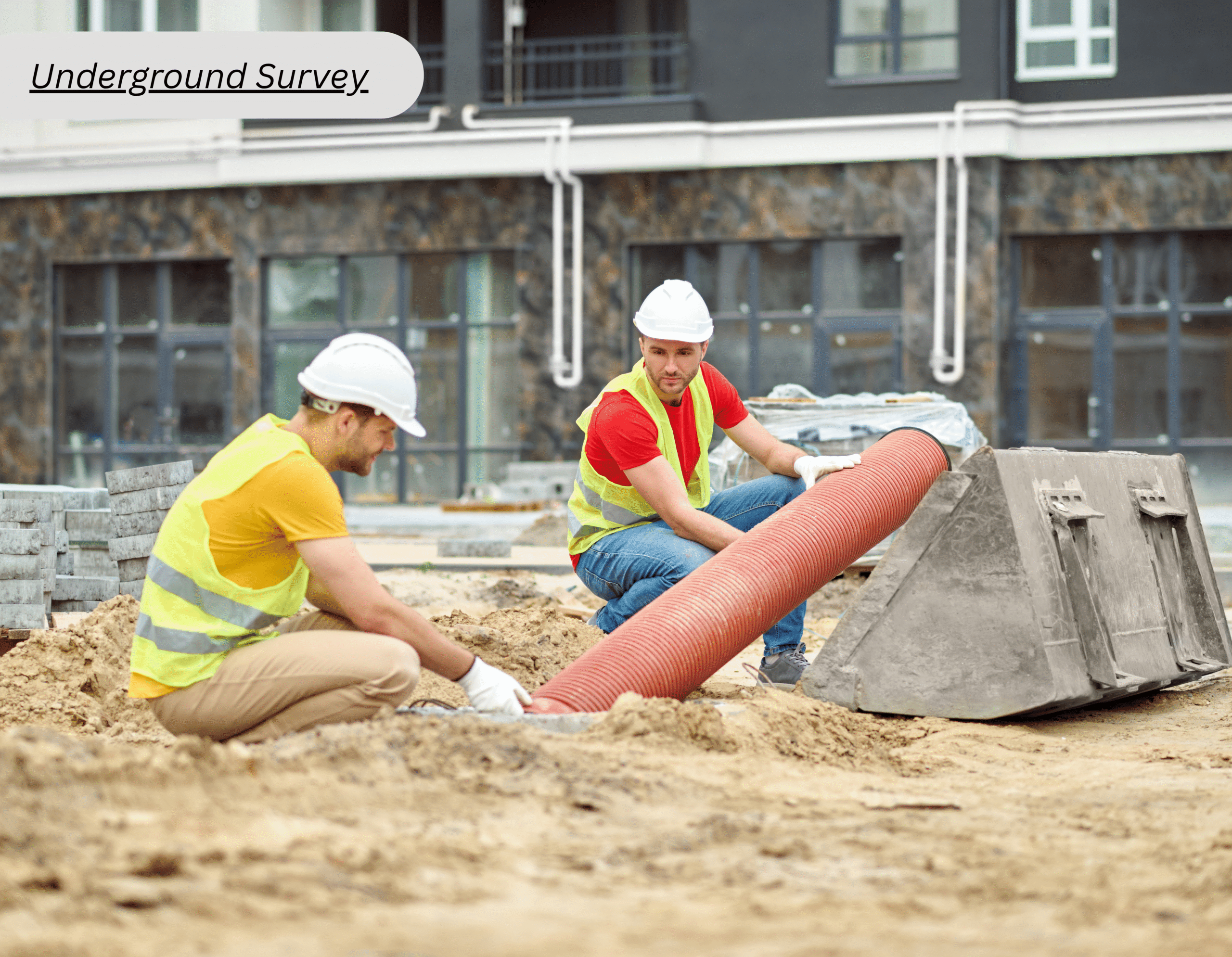
Surveying Challenges When Working Around Existing Underground Infrastructure
Construction sites rarely offer a completely blank slate. Beneath existing roadways, vacant plots, and paved foundations, complex webs of legacy cables, active pipelines, utility ducts, and drainage networks frequently lie hidden. Planning any excavation or new structural work around these vital buried assets demands precise, reliable subsurface data to prevent costly disruptions.
Navigating underground survey requirements in Dubai presents distinct operational hurdles. Outdated archival records, heavily congested utility corridors, and diverse pipe materials complicate standard detection methods. Overcoming these obstacles requires blending rigorous field investigation, high-precision positioning, and transparent reporting to deliver project teams an accurate blueprint of the subterranean environment.
Why Does Existing Underground Infrastructure Create Surveying Challenges?
Professional underground mapping bridges this critical information gap. Comprehensive field data collection translates complex subterranean networks into actionable spatial intelligence, detailing asset positioning, precise depth, exact alignment, and spatial proximity to proposed construction layouts.
Understanding underground survey requirements in Dubai also means considering project scope, site conditions, required deliverables, and applicable requirements. This helps us define the solution to underground survey requirements before fieldwork begins.
Common Challenges During Underground Surveys
Incomplete or Outdated Utility Records
Legacy archive drawings rarely match the reality of today’s subterranean landscape. Utilities frequently undergo relocation, silent extension, unauthorized abandonment, or post-construction retrofitting long after initial project documentation is archived. Modern field detection methods and rigorous survey control reconcile outdated records with physical site conditions, flagging critical discrepancies well before heavy excavation machinery breaks ground. This makes underground mapping useful for creating coordinated information that engineers and contractors can review during planning.
Congested Utility Corridors
Dense urban plots frequently pack multiple critical utilities into tightly restricted spatial corridors. High-voltage electrical lines often run parallel to fragile telecommunication ducts, pressurized water mains, stormwater gravity networks, and specialized industrial pipelines. Severe congestion makes isolating individual services exceptionally challenging while drastically constricting available safety clearances for mechanized excavation.
A best underground inspection solution should account for utility type, expected depth, site access, surrounding conditions, and required detail. Combining detection methods where necessary can provide a more useful picture than relying on one technique.
Different Utility Materials
Subsurface infrastructure spans a diverse spectrum of construction materials. Metallic pipelines and armored cables respond predictably to active electromagnetic induction, whereas non-metallic assets like high-density polyethylene pipes, PVC ducts, and concrete structures demand specialized acoustic or high-frequency scanning. Ground Penetrating Radar emits electromagnetic pulses downward to image subsurface anomalies and map buried features across varying soil profiles. Electromagnetic locators target conductive metallic lines by inducing specific signal frequencies into the circuit. High-precision GNSS receivers and motorized total stations subsequently tie every verified asset into the project’s official coordinate grid with millimeter-level accuracy.
Variable Ground Conditions
Local geotechnical profiles and surface paving materials heavily influence subsurface sensing efficiency. Saturated soils or conductive clay formations rapidly attenuate radar signals, while heavily reinforced concrete decks complicate electromagnetic coupling. Accounting for these environmental variables ensures field teams select optimal sensor frequencies for every site.
Accurate Positioning and Depth
Discovering a buried asset represents only the initial phase of subsurface investigation. Engineering teams require precise spatial data detailing exact horizontal alignment and estimated depth profiles to prevent costly utility strikes. High-precision GNSS rovers and robotic total stations tie every detected anomaly directly into the project coordinate system, turning raw sensor readings into reliable, actionable engineering deliverables.
What A Practical Underground Survey Process Involves
1. Review Available Information
Investigations commence with a rigorous desk study examining historical utility drawings, civil site plans, archival survey records, and project specifications. This preparatory phase establishes a vital baseline understanding, though it never serves as a substitute for mandatory physical field verification.
2. Establish Survey Control
Reliable control points help us position detected utilities within the project’s coordinate system. For professionals developing their technical knowledge, total station survey training in Dubai can provide a deeper understanding of coordinate measurement, control, and precise field surveying workflows.
3. Detect and Trace Underground Assets
Field execution leverages targeted technology deployments tailored to individual site parameters. Ground Penetrating Radar, electromagnetic locators, and complementary acoustic sensors are strategically chosen based on specific surface restrictions and client engineering objectives.
4. Position and Map the Findings
Detected utilities are surveyed and documented so their location, alignment, and available depth information can be incorporated into project drawings or digital datasets. Experienced underground inspection agencies can help coordinate detection, survey control, mapping, and reporting for complex sites.
5. Review and Report
Final survey deliverables synthesize complex subsurface data into clear, actionable mapping formats tailored for design engineers, consultants, and contractors. Transparent utility overlays and precise depth profiles integrate seamlessly into the overarching project workflow, driving safe and efficient construction planning.
Choosing The Right Survey Approach
When selecting a solution for underground survey requirements, we consider:
- Type and density of existing infrastructure
- Expected utility materials and depths
- Ground and surface conditions
- Site accessibility
- Required positional accuracy
- Project drawings and deliverable formats
- Planned construction activities
Plan Underground Work With Better Site Information
Buried infrastructure requires rigorous verification rather than blind assumption ahead of any excavation, drilling, trenching, or deep foundation work. Navigating incomplete archival records, tightly packed utility corridors, diverse material properties, variable geotechnical conditions, and live services demands specialized subsurface investigation expertise. By defining underground survey requirements in Dubai early, selecting the best underground inspection solution, and converting field findings into clear mapping and reports, project teams can make better-informed decisions before ground work begins.
Lyca Survey equips construction and infrastructure teams with precise underground surveying and advanced technical solutions tailored specifically to project demands. Engaging early ensures your site conditions, survey scope, and mandatory deliverables are fully addressed before heavy excavation commences.
FAQs
- Q1.What are the main underground survey requirements in Dubai?
Ans: They can include utility detection, tracing, positioning, depth information, mapping, reporting, and applicable project or authority requirements. The exact scope depends on the site and project, which helps define underground survey requirements in Dubai.
- Q2. What is the best underground inspection solution for a congested construction site?
Ans: The approach depends on utility types, ground conditions, expected depths, access, and required accuracy, so the best underground inspection solution should be selected for the specific site.
- Q3. Why is Underground Mapping important before excavation?
Ans: Underground mapping provides a clearer representation of detected buried utilities and subsurface features. It helps engineers and contractors review potential conflicts and plan excavation around existing infrastructure.
- Q4. How can underground inspection agencies help construction projects?
Ans: Underground inspection agencies can detect, trace, position, and document buried infrastructure using appropriate field technologies. Experienced underground inspection agencies can also support interpretation and reporting. Their outputs can support excavation planning, coordination, and project documentation, forming part of a practical solution for underground survey workflow requirements.
- Q5. How do I find a solution for the underground survey requirements approach for my project?
Ans: Start by reviewing existing records, site conditions, planned excavation, utility density, required accuracy, and deliverables. A qualified survey team can then recommend a suitable detection and mapping workflow as part of the solution to the underground survey requirements process.
