

Why 3D Topographic Modelling Is Becoming Standard Practice in Dubai Construction
High-rise towers, transport corridors, utility grids, and mixed-use hubs demand precise terrain data before a single foundation is cast. Three-dimensional terrain mapping now captures slope,
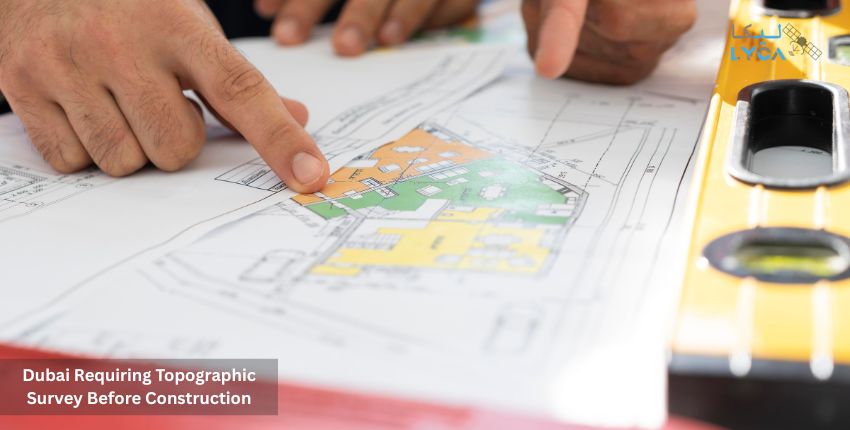
Top 5 Areas in Dubai Requiring Topographic Survey Before Construction
Every construction project begins long before the first brick is laid. Engineers, planners, and contractors depend on accurate land data to avoid delays and costly
