

Topographic Surveying for Smart Cities: Dubai’s Digital Planning Revolution
High resolution terrain data, geo referenced control points, and layered surface models shape how smart cities take form. Precise elevation grids, contour mapping, and 3D

Why 3D Topographic Modelling Is Becoming Standard Practice in Dubai Construction
High-rise towers, transport corridors, utility grids, and mixed-use hubs demand precise terrain data before a single foundation is cast. Three-dimensional terrain mapping now captures slope,

Survey Engineering & Smart Construction: A Competitive Edge for Dubai Developers
Precision data now shapes how towers rise and how roads align. Smart models guide crews before machines reach the site. High grade sensors map terrain

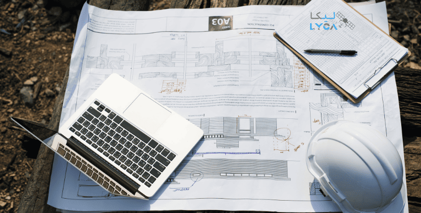
Inside Dubai’s Mega-Projects: Why Professional Surveyors Are Critical to Real Estate Success
Professional surveying plays an essential role in the success of any real estate project, or construction infrastructure. They provide the objective, technical data that are
How Precision Site Surveying is Transforming Dubai’s Real Estate Project Timelines
Precision site surveying are the fundamentals that are transforming Dubai’s real estate and construction sector, replacing traditional, and manual surveying methods with high-tech solutions. Precision

Future-Ready Surveying in Dubai: What Developers Need to Know in 2026
Accuracy now defines project success long before ground breaks. Survey data feeds design models, controls cost exposure, and reduces approval delays. As projects scale in
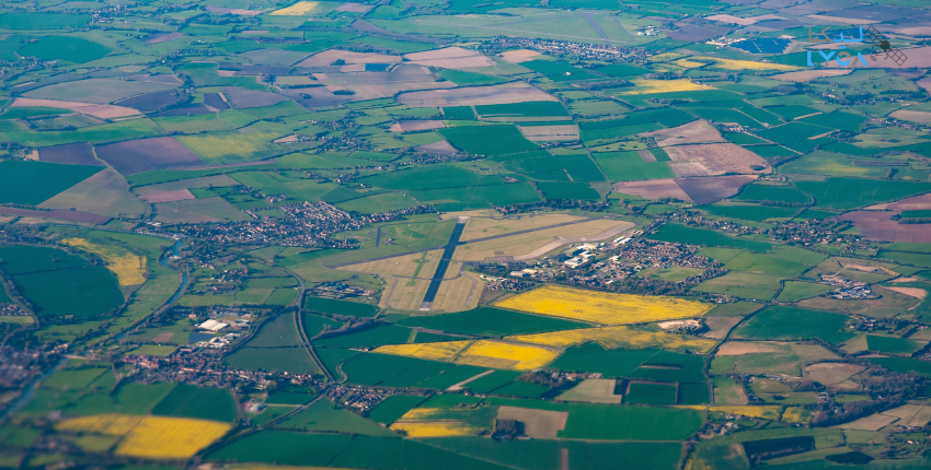
From Drone Mapping to GIS Models: How Modern Data Enhances Dubai’s Urban Planning
Urban planning now depends on precise spatial data, vertical accuracy, and clear visual context to guide development decisions. Drone mapping enables high-resolution capture of terrain,

Topographic Surveys & Land Grading: Foundations of Safe Construction in Dubai
Structural stability begins long before concrete is poured or steel is raised. It starts with how the land is read, measured, and prepared. Elevation shifts,

Leading Post Tension Scanning Companies in Dubai & What Sets Them Apart
Hidden stressing systems shape how modern concrete structures behave under load. Tendons, anchor heads, and ducts remain buried after casting, yet they control strength, span,

2026 Surveying Trends in Dubai: Automation, GIS, Drones & Digital Compliance
Precision sensors, cloud processing, automated analysis, and connected field systems now define how land and structures are measured. These tools support verified records, controlled workflows,
