
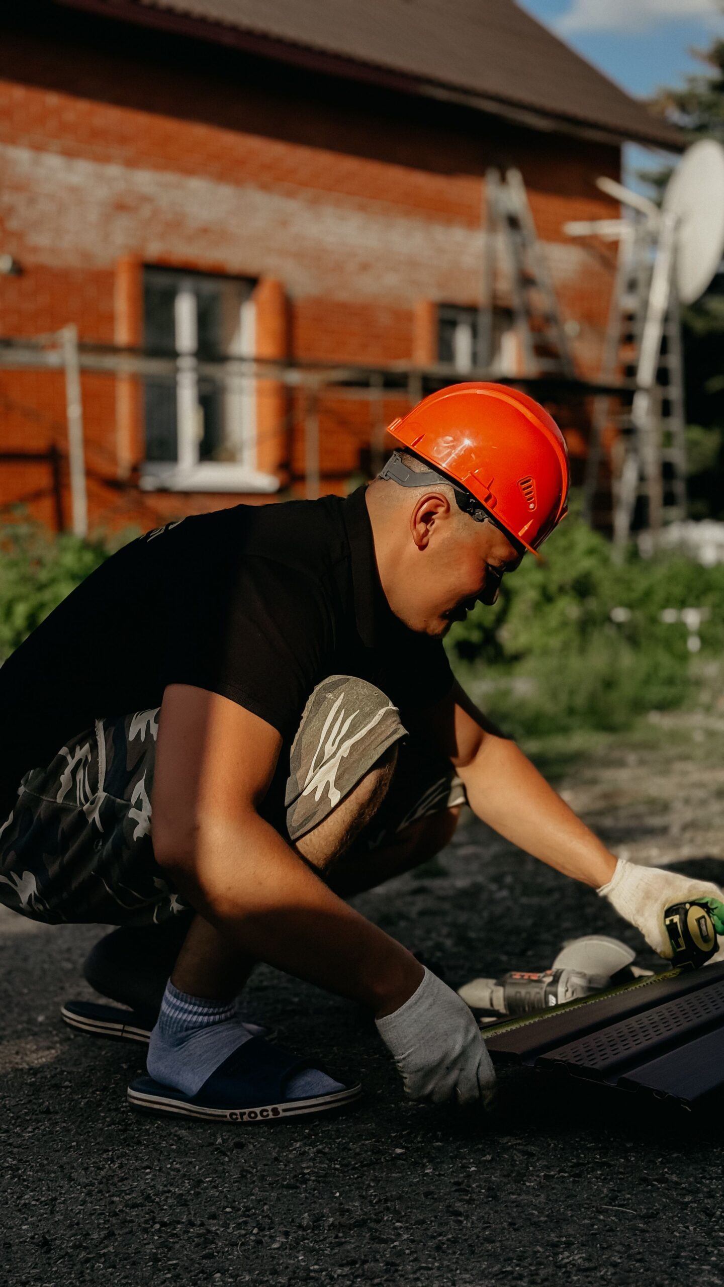
Ground Penetrating Radar (GPR) vs. Radiofrequency Locators: What Tools Are Needed for a Compliant Underground Survey?
Hidden utility lines, buried pipes, post-tension cables, and other subsurface assets can turn a simple project into a costly problem if they remain undetected. Every excavation, drilling, or cutting activity depends on accurate underground mapping before work begins. A professional GPR survey helps locate both metallic and non-metallic objects, making it an important step in reducing project risks and supporting safe site operations. Choosing the right detection method is not as simple as selecting one tool. Ground Penetrating Radar (GPR) and Radiofrequency (RF) locators serve different purposes. Each technology has unique strengths, and using them together often provides the most complete underground survey. Understanding how these tools work helps project owners, engineers, contractors, and facility managers make informed decisions while meeting safety and compliance requirements.
Why Underground Utility Detection Matters
Construction sites often contain utilities installed decades apart. Records may be incomplete or outdated. Even accurate drawings cannot always reflect changes made during maintenance or emergency repairs.
An underground survey helps identify buried infrastructure before excavation starts. This reduces the chance of damaging power cables, communication lines, gas pipes, water mains, or drainage systems.
Reliable utility detection also supports:
- Better planning before construction
- Lower repair and project delay costs
- Improved worker safety
- More accurate excavation methods
- Better compliance with project requirements
Using suitable detection equipment allows survey teams to gather dependable data without damaging the ground.
What Is Ground Penetrating Radar?
Ground Penetrating Radar uses high-frequency electromagnetic waves to scan beneath the surface. The radar sends signals into the ground. Different materials reflect those signals back to the receiver. Software then creates a picture of subsurface features.
Unlike many detection methods, GPR does not depend on metal conductivity. It can identify both metallic and non-metallic objects.
A professional GPR survey is commonly used to detect:
- Plastic water pipes
- Concrete reinforcement
- Fiber optic cables
- Underground storage tanks
- Voids beneath concrete
- Buried foundations
- Unknown underground structures
The technology performs well in many environments, although soil moisture and ground conditions may affect penetration depth.
Understanding Radiofrequency Locators
Radiofrequency locators work differently. They detect electromagnetic signals emitted from conductive utilities or from a transmitter connected to those utilities.
These systems are widely used for locating:
- Electrical cables
- Steel pipelines
- Copper communication lines
- Metal conduits
- Tracer wires attached to plastic pipes
Radiofrequency locators offer excellent accuracy when utilities carry a detectable signal. They are also useful for tracing the direction and depth of conductive lines. However, they cannot directly locate non-metallic utilities without tracer wires or other conductive elements.
Why Both Technologies Are Often Needed
A compliant underground survey aims to reduce uncertainty as much as possible. Ground Penetrating Radar may identify unknown buried objects that produce no electrical signal. Radiofrequency locators confirm the location of conductive utilities and help trace their exact paths.
Using both systems together allows surveyors to compare findings and verify results before excavation begins.
This combined approach provides several advantages:
- Greater confidence in utility mapping
- Better detection of unknown services
- Reduced excavation risks
- More complete underground records
- Stronger support for safe construction planning
Projects involving hospitals, airports, commercial buildings, transport facilities, industrial plants, and public infrastructure often benefit from combining both technologies.
Applications Beyond Utility Detection
Modern GPR systems support many inspection tasks beyond buried utility locating. One common application is GPR concrete scanning. Survey teams use radar to inspect concrete slabs, walls, bridges, and structural elements before drilling or coring.
This process helps identify:
- Reinforcing steel
- Post-tension cables
- Electrical conduits
- Embedded pipes
- Voids inside concrete
Accurate GPR concrete scanning reduces structural damage and improves worker safety during renovation and construction.
Another valuable service involves concrete scanning and coring. Radar identifies hidden reinforcement before coring begins, allowing contractors to avoid critical structural elements while creating precise openings.
Professional concrete scanning and coring also reduces repair work caused by accidental strikes inside reinforced concrete.
Factors That Influence Survey Planning
Every underground survey requires proper planning before equipment reaches the site.
Survey professionals consider several factors:
- Ground conditions
- Soil type
- Utility records
- Site access
- Surface materials
- Project objectives
- Required reporting detail
No single detection method performs perfectly in every condition. Experienced surveyors choose equipment based on project needs rather than relying on one technology alone.
The survey process becomes more reliable when multiple detection methods confirm the same findings.
Understanding GPR Survey Cost
Many clients focus on GPR survey cost before scheduling an inspection. While pricing matters, survey quality often delivers greater long-term value.
The GPR survey cost depends on several factors, including:
- Survey area size
- Site complexity
- Number of utilities
- Required deliverables
- Concrete or soil conditions
- Project timeline
Investing in accurate utility detection can prevent expensive repairs, project delays, equipment damage, and safety incidents.
Choosing the Right Survey Partner
Choosing the right survey partner in Dubai requires verifying Dubai Municipality (DM) or DDA (Dubai Development Authority) approvals, confirming the use of survey-grade GPS/LiDAR technology, and ensuring proven experience with strict local zoning laws. The cheapest quote often leads to costly authority rejections.
Key Selection Criteria for Dubai Projects
Use the following framework to evaluate and shortlist land or commercial surveying companies in the UAE:
- Authority Compliance: Ensure your partner holds active Dubai Municipality (DM) and TRAKHEES accreditations. Surveys lacking these approved stamps will face automatic project or OQOOD/Title Deed rejection.
- Technology Infrastructure: Verify the firm uses high-end, calibrated equipment (e.g., Trimble or Leica total stations, or survey-grade RTK drones) rather than consumer-grade tools.
- Local Expertise: Dubai’s dense urban layouts (e.g., Downtown, Business Bay) require surveyors experienced in layered utilities and tight site controls.
- RICS Regulation: For commercial valuations, property transfers, and building surveys, consider firms regulated by the RICS Find a Surveyor directory to ensure international real estate standards.
Why Choose Lyca Survey?
At Lyca Survey, we combine advanced underground detection technology with experienced survey professionals to deliver dependable results for projects of every size. Our goal is to help clients reduce risk, improve planning, and locate hidden utilities before construction begins.
Our strengths include:
- Advanced Ground Penetrating Radar systems for detailed underground imaging.
- Professional Radiofrequency locating equipment for accurate utility tracing.
- Skilled survey specialists trained in data collection and interpretation.
- Clear reports that support engineering and construction teams.
- Reliable inspections for commercial, industrial, civil, and infrastructure projects.
- Non-destructive survey methods that reduce unnecessary excavation.
Our equipment includes multiple GPR models designed for different site conditions and inspection needs. High-frequency antenna systems provide detailed imaging for GPR concrete scanning, while lower-frequency models deliver greater penetration for underground utility investigations. We also use professional Radiofrequency locator systems that accurately trace conductive utilities and confirm underground service paths. This combination allows us to deliver comprehensive underground survey solutions across a wide range of projects.
Contact Us
Planning a safe excavation starts with reliable underground information. Our team is ready to help you choose the best underground inspection solution for your project. Visit our official website to learn more about our services, request a quote, and work with Lyca Survey for accurate, dependable underground investigations.
FAQs
- What is the difference between Ground Penetrating Radar and a Radiofrequency Locator?
Ground Penetrating Radar detects both metallic and non-metallic underground objects using radar signals, while Radiofrequency Locators trace conductive utilities by identifying electromagnetic signals transmitted through buried lines.
- When should a GPR survey be performed before construction?
A GPR survey should be completed before excavation, drilling, trenching, or concrete cutting to identify hidden utilities and structural elements, helping reduce project risks and avoid accidental damage.
- Can GPR detect plastic pipes and underground voids?
Yes. GPR can detect plastic pipes, underground voids, buried foundations, and other non-metallic objects that conventional Radiofrequency Locators may not identify without conductive tracer wires.
- What factors affect the cost of a GPR survey?
GPR survey cost depends on the project size, site conditions, inspection depth, utility complexity, reporting requirements, and the level of detail needed for accurate underground mapping.
- Why are GPR and Radiofrequency Locators often used together?
Using both technologies provides a more complete underground survey by locating conductive utilities with Radiofrequency Locators while identifying non-metallic objects and unknown structures using Ground Penetrating Radar.
