
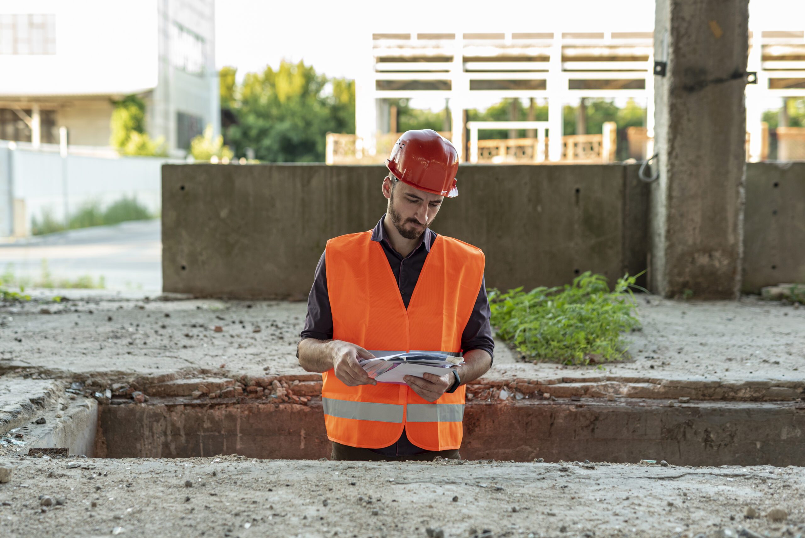
Why Underground Utility Surveys Are Essential for Public Safety
Underground infrastructure forms the unseen foundation of modern cities. Beneath the surface lie networks of water pipes, electric cables, gas lines, sewage systems, and telecommunication conduits. Any construction or excavation work near these systems comes with potential risks, both in terms of service disruption and human safety. When these underground assets are not properly located and mapped, it can lead to severe accidents, service interruptions, and long-term damage to public infrastructure. This is why an underground site survey is not just a technical necessity, it is a critical safety measure.
Hidden Hazards of Underground Infrastructure
One of the biggest challenges in urban development is the unpredictability of what’s below the surface. Many older cities suffer from outdated or incomplete records of underground utilities. Without a clear understanding of what lies beneath, even minor digging can result in gas leaks, electrocution, water main breaks, or fibre optic outages.
According to data from global infrastructure studies, more than 400,000 excavation-related utility damages occur annually worldwide. These damages not only cost billions in repair but also cause thousands of injuries and fatalities. A well-executed underground site survey can reduce these incidents significantly by mapping existing networks before any site work begins.
Key Benefits of Underground Utility Surveys
- Risk Mitigation for Workers and the Public :- Excavations without proper surveys can endanger workers and nearby residents. Identifying utility paths ahead of time helps avoid unexpected strikes, which are among the leading causes of workplace injuries on construction sites.
- Cost and Time Savings :- Repairs due to damaged infrastructure can cost up to 30% of a project’s budget, especially if delays impact timelines. Underground site survey solutions allow project teams to plan with confidence, avoiding costly mistakes and rework.
- Regulatory Compliance :- Most construction and civil engineering projects today must follow stringent safety and zoning laws. Regulatory agencies often mandate an underground survey in Dubai and other metropolitan areas to ensure public safety is not compromised. Failing to conduct these surveys could lead to project shutdowns, legal actions, or revoked permits.
- Improved Project Planning and Accuracy:- A comprehensive underground survey service solution enhances the accuracy of building and infrastructure designs. By integrating underground utility maps into BIM (Building Information Modelling) or CAD systems, engineers and architects can make informed decisions about foundation placement, road design, and drainage systems.
- Environmental Protection:- Avoiding water pipe bursts or sewage line damage not only saves money, it also prevents environmental contamination. Proper surveys help preserve natural resources and reduce the ecological footprint of construction projects.
Survey Technology and Techniques
Modern underground site survey solutions use a combination of ground-penetrating radar (GPR), electromagnetic induction, and radio-frequency locating to detect and map underground utilities. These tools are non-invasive and provide real-time data that can be visualised and analysed to ensure safer excavation.
GPR, for example, can detect non-metallic objects such as plastic or concrete pipes, while electromagnetic tools are ideal for identifying cables and metal conduits. The integration of these techniques provides a layered, detailed understanding of subsurface conditions.
Moreover, many underground survey service solution providers now combine their survey results with geographic information systems (GIS) to support digital documentation and regulatory submissions. This improves communication between stakeholders and simplifies project reporting.
The Future Role of Underground Survey Technology
The field of underground site survey solutions is evolving rapidly, driven by the need for faster, more accurate, and non-invasive data collection. Technologies such as Artificial Intelligence (AI), Machine Learning (ML), and 3D modeling are no longer just enhancements, they are becoming core tools in modern underground survey service solutions.
AI-driven interpretation of survey data can significantly reduce human error and deliver faster results. For example, Ground Penetrating Radar (GPR) systems integrated with AI can now identify patterns that may not be obvious to human operators. These intelligent systems continuously learn from past scans, improving their ability to differentiate between types of buried utilities like gas pipelines, fiber-optic cables, or water lines.
Meanwhile, 3D subsurface modeling is transforming how survey data is visualised. Engineers and contractors can now access interactive 3D models of a site’s underground infrastructure before breaking ground. This helps not only in planning but also in real-time decision-making during construction or emergency repairs. By overlaying data from multiple sources, GPR, electromagnetic locators, and previous survey records, these models give a more complete picture than ever before.
Cloud-based platforms are also playing a crucial role. Survey data can now be shared across teams and stakeholders in real-time, improving collaboration and speeding up approvals. Some underground survey service solution providers have even integrated augmented reality (AR) applications, allowing on-site teams to visualise buried infrastructure using tablets or smart glasses, helping to reduce the risk of accidental strikes.
As urban areas grow more complex and utility networks become more crowded, the future of underground survey in Dubai and beyond will depend on integrating these advanced technologies into standard practice. This means faster turnarounds, greater accuracy, and above all, improved public safety.
Why Lyca Survey Is the Trusted Choice for Underground Utility Surveys
Lyca survey has emerged as a reliable name amongst Dubai’s underground survey, providing authentic and underground survey solutions for construction, infrastructure and public services planning. With more than 15 years of expertise, we possess extensive technical experience across residential, commercial, energy and public infrastructure sectors. What Sets Us Apart
- 15+ years of experience in underground site survey solutions across the UAE
- 2,000+ projects delivered, covering roads, residential towers, energy pipelines, and government sites
- Up to 95% detection accuracy using advanced GPR and electromagnetic scanners
- Fully compliant with Dubai Municipality regulations and recognised by local authorities
- Detailed GIS mapping, certified reports, and risk assessments provided with every survey
- Multi-sector expertise, including oil & gas, real estate, urban development, and transportation
Get in Touch
Ready to guarantee the safety and success of your project? Let’s connect with a reliable survey company that provides precise and government-compliant underground solutions. Discover how our expertise surpasses other scanner companies with superior tools, greater insight, and unparalleled reliability. Contact Lyca Survey for your next project today.
