
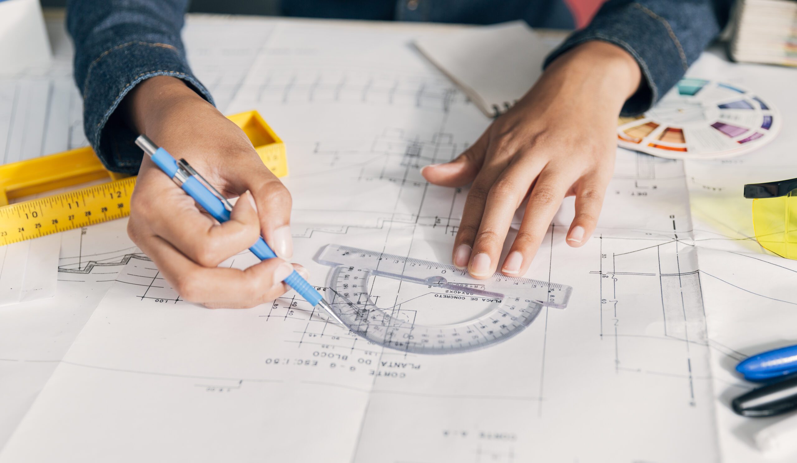
What Is Surveying Engineering and How Is It Used in Modern Construction?
Every successful construction project begins with one thing that cannot be seen after the work is complete. It starts with accurate measurements, reliable positioning, and detailed planning. Even the best design can face delays, extra costs, or safety issues if the ground data is wrong. That is why surveying engineering plays a vital role before the first foundation is placed and throughout every stage of construction.Construction teams depend on precise information to make confident decisions. Professional surveying services help identify land features, confirm property boundaries, and establish exact positions for structures. These measurements reduce errors, improve teamwork, and keep projects moving according to plan. As projects become larger and more complex, modern surveying combines skilled professionals with advanced technology to deliver dependable results that support quality construction from start to finish.
Our modern equipment allows us to complete projects efficiently while maintaining the accuracy required for demanding construction environments.
What Is Surveying Engineering?
Surveying engineering is the process of measuring, mapping, and analyzing land to support planning, design, and construction. Surveyors collect accurate field data using specialized equipment and software. This information helps engineers, architects, and contractors understand site conditions before work begins.The process involves calculating distances, elevations, angles, and coordinates with high accuracy. Surveyors also verify that structures are built in their planned locations throughout construction. By providing reliable measurements, surveying reduces the risk of design conflicts, material waste, and costly rework. It creates a dependable reference system that every project team can follow from planning to project completion.Why Surveying Is Essential in Modern Construction
Construction today demands precision at every stage. Buildings, roads, bridges, and infrastructure projects all rely on accurate positioning to meet design requirements. Even small measurement errors can affect structural alignment and project quality.Professional surveyors support every phase of development. Before construction starts, they evaluate site conditions and collect important land data. During construction, they confirm dimensions, elevations, and alignment. After completion, they prepare as-built surveys that verify the finished work matches approved plans. This continuous verification improves quality control while helping contractors avoid expensive corrections later.The Importance of Site Layout & Reference Points
Accurate site layout & reference points create the foundation for successful construction. Surveyors establish fixed control points that guide every stage of the project. These points allow contractors to position foundations, columns, utilities, roads, and structural elements exactly where they belong.Without reliable reference points, different teams may work from inconsistent measurements, leading to alignment problems and delays. Surveyors regularly verify these control points during construction to maintain accuracy as the project progresses. This process keeps every trade working from the same coordinate system and improves overall project efficiency.Modern Surveying Technologies That Improve Accuracy
Surveying has advanced well beyond traditional measuring tools. Today’s professionals use advanced instruments that deliver faster data collection and greater accuracy across complex construction sites.Some commonly used technologies include:- Total Stations for precise angle and distance measurements.
- GNSS and GPS systems for accurate positioning.
- UAV and drone surveys for rapid site mapping.
- 3D laser scanners for capturing detailed building information.
- Digital mapping software for processing survey data into useful construction models.
How Professional Surveying Services Reduce Construction Risks
Construction projects involve multiple teams working together under strict schedules. Reliable surveying services help reduce uncertainty by providing verified field information that everyone can trust.Surveyors identify potential site challenges before construction begins. They verify design layouts during execution and confirm completed work after installation. This approach minimizes measurement mistakes, supports regulatory compliance, and improves communication between stakeholders.Accurate surveys also reduce unnecessary excavation, prevent material waste, and improve equipment placement. These benefits help projects stay within budget while maintaining quality standards and construction safety.Choosing an Affordable Survey Agency in Dubai
Selecting an affordable survey agency in Dubai involves more than comparing prices. Experience, technical capability, qualified professionals, and modern equipment all contribute to the quality of survey results.A dependable survey partner should provide timely project support, accurate reporting, and advanced surveying solutions for different construction needs. Clear communication, reliable turnaround times, and proven technical expertise are equally important. Working with an experienced survey company helps developers, contractors, and consultants complete projects with greater confidence while avoiding unnecessary delays.Why Choose Lyca Survey?
At Lyca Survey, we provide accurate surveying solutions that support construction projects from planning through completion. Our experienced team combines skilled professionals with advanced surveying technology to deliver reliable results for projects of every size. We focus on precision, efficiency, and dependable service that helps clients make informed decisions throughout construction.Our capabilities include:- Topographic Surveys
- Construction Setting Out
- As-Built Surveys
- Underground Utility Surveys
- 3D Laser Scanning
- Concrete Scanning
- Gate Level Marking and Verification
- Gate Level Computation
- Demarcation Surveys
- Volume Calculations and Earthwork Surveys
Our Advanced Survey Equipment
We use industry-leading equipment to deliver highly accurate field data, including:| Model | Primary Application |
| Leica TS16 Total Station | High-precision construction layout |
| Leica GS18 GNSS Receiver | GPS positioning and site control |
| Leica RTC360 | High-speed 3D laser scanning |
| Leica BLK360 | Building documentation and digital capture |
| Leica DD Series Utility Locator | Underground utility detection |
Contact Us
If you need dependable surveying support, our team is ready to help. Contact Lyca Survey today for a tailored solution that fits your project requirements. Visit our website to request a quote and discover why businesses trust us for precision surveys and advanced scanning companies solutions that improve construction confidence.FAQs
- What does surveying engineering involve?
- Why are surveying services important before construction starts?
- What equipment do modern surveyors commonly use?
- How do site layout and reference points improve construction quality?
- Why should businesses choose an experienced survey company?
